Malaysia's smallest state is also its densest limestone playground
Perlis covers roughly 800 square kilometres wedged between Kedah and the Thai border — Malaysia's smallest state by area, but one sitting almost entirely on the Nakawan Range, the longest continuous limestone hill range in the country. That geology is why Perlis punches well above its size for cave systems, karst hills and forest reserves. This site already has a general "7 Best Things To Do in Perlis" roundup covering the state's museum, floating mosque and duty-free shopping, and a separate Kids-category piece on family-friendly stops like the snake farm and Tasik Melati. This list is deliberately narrower: it's built entirely around hiking, caving, climbing and forest-reserve terrain for people who want to get outdoors, cross-checked this run against Perlis Geopark, Perlis State Park's forestry pages, and independent trail-tracking sites (AllTrails, Wikiloc) rather than recycled from either existing piece.
One caveat that applies to several sites below: severe flooding and landslides hit the Wang Kelian border area in late November 2025, damaging roads and the tin-mining suspension bridge inside Gua Kelam. As of this update (13 August 2026), the Wang Kelian access road is open only to light vehicles under 5 tonnes, from 8am to 6pm daily — a restriction JKR has had in place since 1 March 2026 — with full road and slope repair works reported as targeted for completion during August 2026. The Gua Kelam 1 bridge is a separate job: the original December 2025 reporting put its reopening at around June 2026, but that target has now passed and we found no announcement confirming it has actually reopened. Each affected entry below states its actual current status rather than pre-flood information.
Caves & karst hills
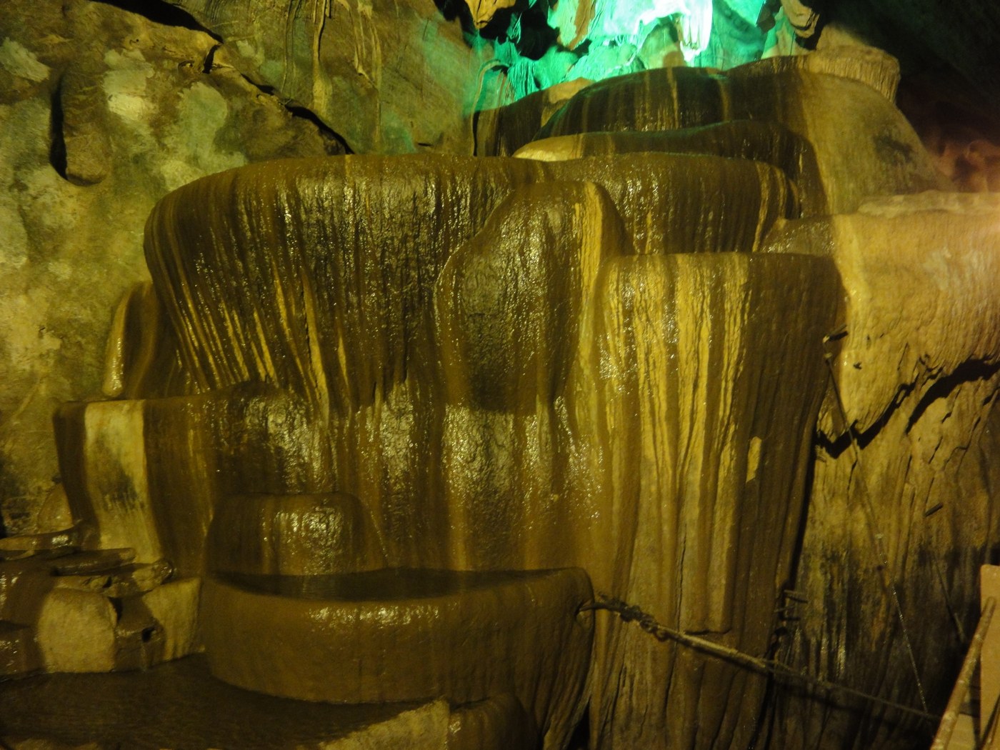
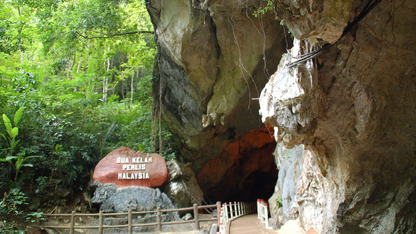
Gua Kelam Recreational Forest — Perlis's best-known cave attraction sits in the Wang Mu Forest Reserve near Kaki Bukit, about 33km north of Kangar. Gua Kelam ("Cave of Darkness") is a 370-metre limestone tunnel that was cut through by tin miners, historically crossed on an 8-foot-wide wooden suspension bridge built in the 1930s to move ore out of the hillside — visitors walk in one end and emerge somewhere else entirely, which is the novelty that makes it more of a cave *walk* than a cave tour. The cave is split into two connected sections: Gua Kelam 1, home to the original suspension bridge, has been closed since the November 2025 flood severed roughly 100 metres of the 350-metre in-cave bridge — a rebuild costed at about RM500,000 — and while December 2025 reporting put its reopening at around June 2026, that target has passed with no confirmed reopening announcement found as of 13 August 2026; Gua Kelam 2's separate, unaffected lit walkway trail remains open daily in the meantime, though the Perlis State Forestry Department asks visitors to arrange a Gua Kelam 2 visit with them in advance. Opening hours are roughly 9am–5.30pm Monday to Friday and 9am–6pm on weekends. Entry fees at Perlis State Park's ecotourism complexes (which this pricing schedule covers, including Gua Kelam) run RM2 for adult citizens and RM1 for child citizens, RM5 for adult non-citizens and RM3 for child non-citizens, with children under 6 and people with disabilities free. Check the venue's current status before visiting if the Gua Kelam 1 bridge matters to your trip.
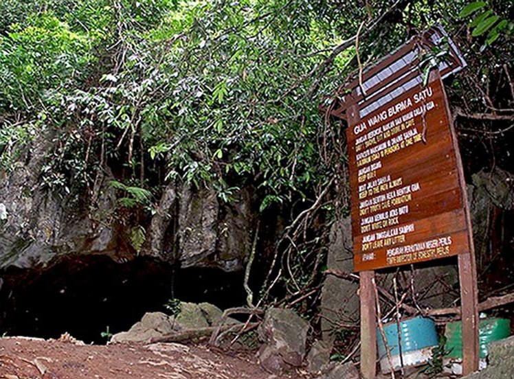
Gua Wang Burma — A genuinely different caving experience about 2km from Wang Kelian town, near the Malaysia-Thailand border. Unlike Gua Kelam's lit, developed walkway, Gua Wang Burma is an undeveloped show cave cut into Setul Formation limestone, with rock partly metamorphosed by its proximity to the granite body at Bukit China — the result is unusually striking stalactite and stalagmite formations. Visiting requires caving gear and a guide arranged through the Perlis State Park Visitor Centre; it's not a walk-in attraction. Because it shares the Wang Kelian access road, the same light-vehicle daytime restriction currently applies — arrange your guide and check road access together before heading up.
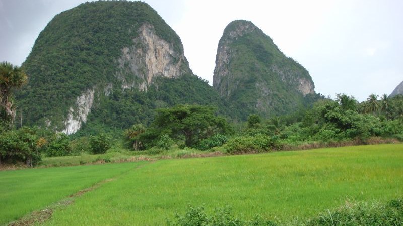
Bukit Keteri — A limestone tower in Kampung Bukit Keteri, about 10km from Kangar and ringed by rice paddies, formed from roughly 290-million-year-old Chuping Formation limestone. The hill runs nearly 600 metres north-south with two peaks, and caves are visible at several elevations — one is locally reputed to be large enough to fit a jumbo jet inside. It's become one of the region's most established rock-climbing crags since routes were first opened here through a 2007 Mammut Expedition; roughly 50 bolted routes across a range of grades are documented today, drawing climbers from across the peninsula and beyond. Non-climbers get an easier option too: a short, well-marked hiking trail (roughly 15–20 minutes each way) leads to viewpoints over the surrounding paddy fields. The hill also carries WWII history, with the remains of a Japanese pillbox and a battle memorial plaque near the site. No formal entrance fee was found for this run — it's an open hill, not a gazetted recreational forest with a gatehouse.
Bukit Kubu Recreational Forest — A quieter, less-visited limestone hill in Kuala Perlis, gazetted as a state forest reserve in 1992 and covering about 183.7 hectares. Locally nicknamed "the cave park of Perlis" for the cave system riddling the hill, though the public isn't allowed inside those caves without permission from the Perlis Forestry Department — this one's about the hill itself, not a cave walk. An easy stepped trail leads to a hilltop gazebo lookout with views stretching over Kuala Perlis town, Sungai Perlis, the Straits of Malacca, Langkawi Island on a clear day, and toward the Thai border. The forest reserve is also used for jogging and mountain biking on its network of paths, making it one of the more physically varied entries on this list.
Peaks & forest reserves
Perlis State Park — Peninsular Malaysia's first gazetted state park (1997), spanning roughly 5,000 hectares across the Mata Ayer and Wang Mu forest reserves along the Thai border. The park sits on the Nakawan Range, Malaysia's longest continuous limestone hill range, and its karst forest is genuinely biodiverse: state park data logged around 600 plant species, roughly 70 mammal species and close to 200 bird species, including six hornbill species — a serious draw for birders, not just hikers chasing a viewpoint. The Wang Kelian gateway into the park charges the same ecotourism-complex pricing noted above (RM2 adult citizen / RM5 adult non-citizen). Given this park anchors both Gua Wang Burma and the Wang Kelian viewpoint covered in our general Perlis roundup, the current light-vehicle access restriction on the Wang Kelian road applies here too.
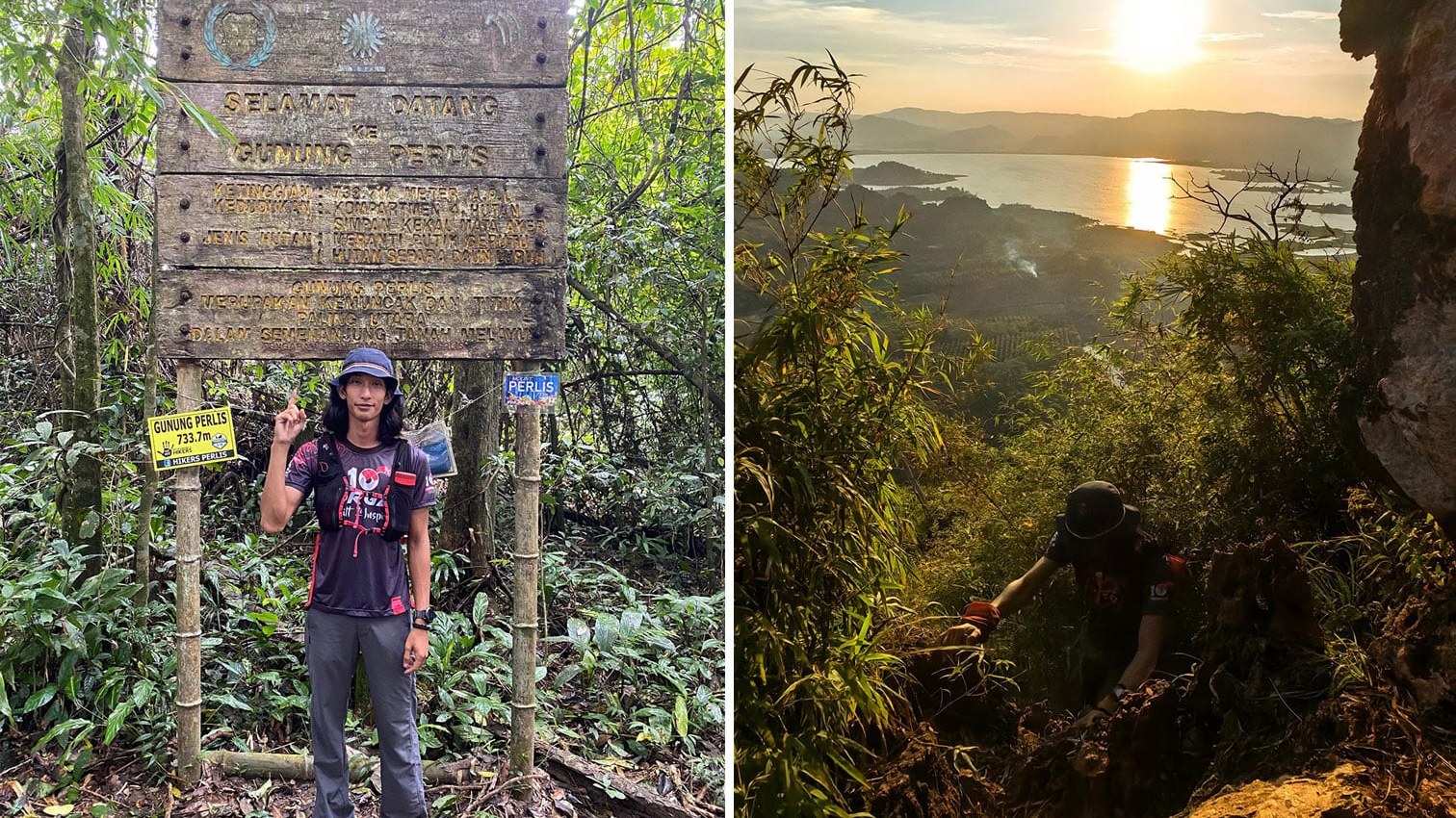
Gunung Perlis — The state's highest point at 733 metres above sea level, and reportedly the most northern peak on Peninsular Malaysia. The trail starts inside Taman Negeri Perlis at Kaki Bukit (entry to the trailhead is free) and runs an 11.84km loop with 16 marked checkpoints, taking roughly six hours round trip at a moderate difficulty rating. Multiple trail-tracking sources agree a permit from the Forestry Department is compulsory before hiking — this isn't a casual walk-up. Expect leeches on the way up and a border-stone marker rather than a sweeping viewpoint at the summit itself; the payoff here is the trek and the forest, not a photo-op peak.
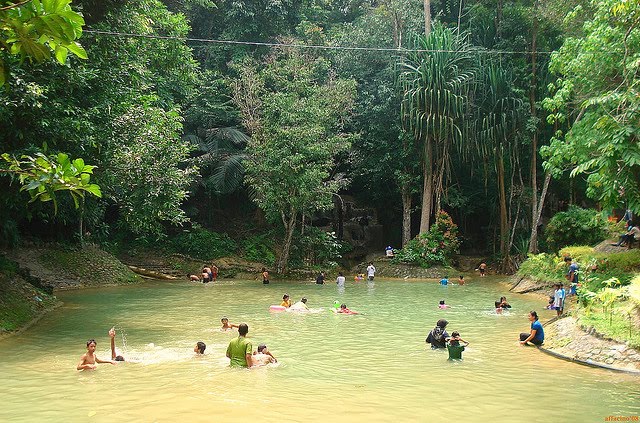
Bukit Ayer Recreational Forest — An eco-park roughly 12km from Kangar inside the Bukit Bintang Forest Reserve, gazetted in 1998, built around a waterfall and natural swimming pool set in lowland dipterocarp forest. For outdoor-adventure purposes it's less about the developed man-made pool (entry RM2 per person; the separate swimming pool runs roughly RM5 for adults and RM3 for children aged 6 and above) and more about the forest trail and the camping ground on-site, which lets visitors turn a day trip into an overnight stay in genuine jungle rather than a managed campsite. Facilities include a children's playground, prayer room and food stalls; weekdays are noticeably quieter than weekends.
Lake & water-based recreation
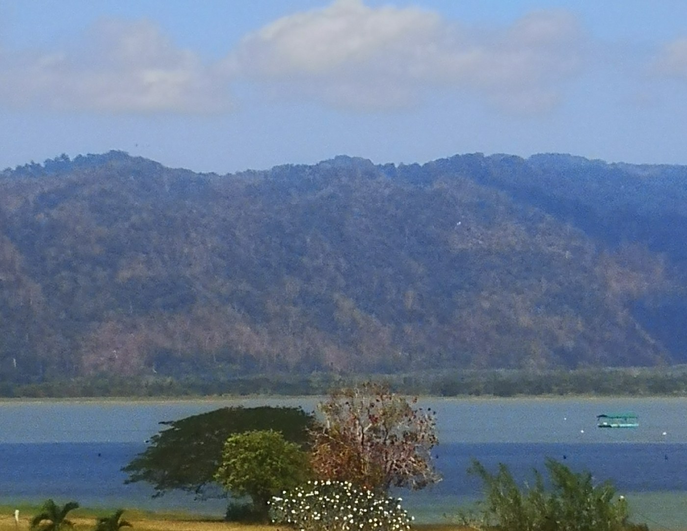
Timah Tasoh Lake — A roughly 1,300-hectare man-made reservoir near Beseri, completed in 1992 as a water catchment area that has since doubled as a genuine wildlife sanctuary — over 100 species of migratory birds pass through in the northern winter months, alongside a resident freshwater fishery of catfish, tilapia and carp that draws anglers to spots around the shoreline. For active visitors, the appeal is kayaking and boat access: tourist boat operators run roughly 7am to 7pm daily, with reported daily circuits of the reservoir's roughly 20 square kilometres of open water, alongside designated lakeside camping sites with basic amenities. December to February tends to be the recommended window, both for drier weather and for the migratory birdwatching season.
What we left out
A few names came up repeatedly in research and didn't make the cut. Wang Kelian's cross-border walk-in market is a genuinely famous Perlis attraction, but as of this writing the free-flow border zone pilot remains postponed following the November 2025 landslides, and the market's actual current operating status is murkier than a "verified open" bar allows — we'd rather leave it out than describe a market that may not be running the way older write-ups describe. The ATV rental area sometimes described at Wang Tangga / Kaki Bukit Recreational Park, just past Gua Kelam's exit, came up in older sources but we couldn't confirm it's still operating this run, so it's omitted rather than guessed at. We deliberately skipped the Perlis Snake and Reptile Farm and Tasik Melati Recreational Park — both real, both worth visiting, but both already covered in this site's family-friendly Perlis piece, and neither is really hiking/caving/karst terrain, which is this list's actual focus. We also chased down a lead on "Bukit Wang Recreational Forest" that turned out to be in Kedah, not Perlis, so it's excluded on a technicality — wrong state. Finally, Bukit Chuping came up repeatedly in Perlis Geopark literature as a geologically significant limestone formation, but it's the site of an active cement quarry, not a public visitor attraction, so it's left off a list meant for people who actually want to go outside and walk around.
Related reads
- 7 Best Things To Do in Perlis, Malaysia's Smallest State (2026)
- 7 Family-Friendly Things To Do in Perlis, Malaysia's Smallest State (2026)
- 7 Best Places to Eat in Perlis (2026)
*Image: The entrance to Gua Kelam, Kaki Bukit, Perlis — Marufish, CC BY-SA 2.0, via Wikimedia Commons.*